Staten Island Greenbelt Hike
(using transit from Brooklyn)
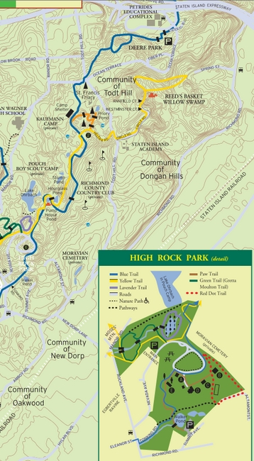
trail map found at High Rock Park
The trailhead we used is near Richmond Rd & Summit Ave. Here is a handy trail map of the entire Greenbelt. (Check your transit route with the MTA Trip Planner, as schedules may vary.)
Here's how we did it on a Saturday morning:
- R train to 86th Street in Brooklyn.
- S79+ Bus to Hylan Blvd & Old Town Rd.
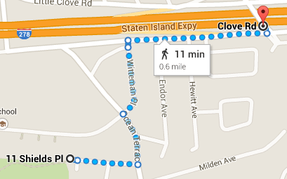
- Walk W on Old Town Rd to Old Town SIRR station
- SIRR southbound to New Dorp.
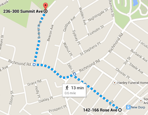
- Walk NW to Summit Ave & Richmond Road and then continue N on Summit Ave to parking area on left (this was closed for parking, but you can walk in). This is the parking lot next to Walker Pond on the map inset at right.
- The trail begins beyond the parking area, straight ahead on left.
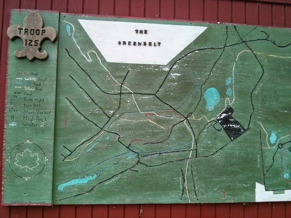
- Follow blue blazes toward the High Rock Park buildings (see inset on trail map, linked above).
- Near the buildings, the trail follows a driveway for a bit, but continues into the woods on the far side.
- Note that the Cropsey Overlook is on the blue trail (which is not completely apparent on the linked trail map).
- We followed the blue trail all the way to Deere Park, where we picked up the blue X blazes to Staten Island Blvd.
- From there we walked on the streets to Clove Road and Milford Drive where we caught the S53 bus back to the R train in Brooklyn. (Bus stop is on Clove Road where it passes over the expressway.)
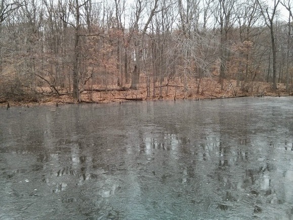
Pump House Pond

Looking Oceanward from Todt Hill
Jasper Cropsey (1823-1900)
Oil on canvas, 1895
Staten Island Museum
This hike is probably 3 miles or so. We hiked it with kids in about three hours from the New Dorp railroad station.
Have fun!
November 30, 2014