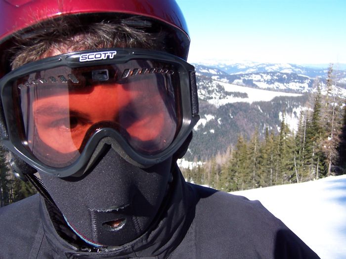
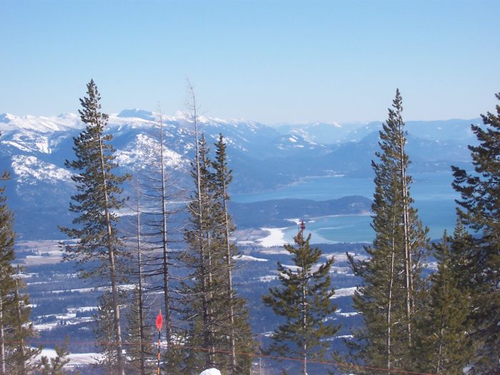
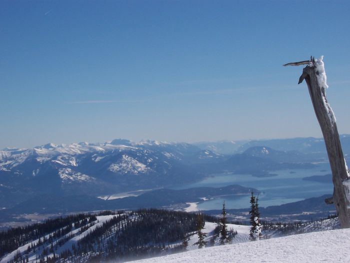
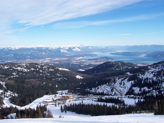
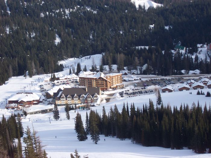
Schweitzer Mountain is pretty, even when cold
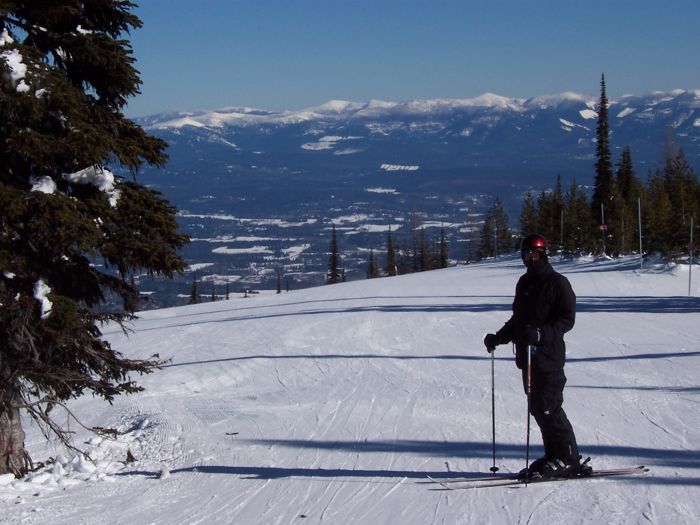
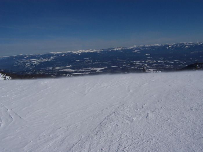
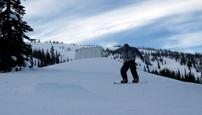
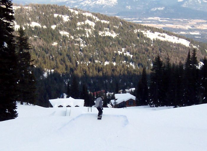
This was the second Schweitzer trip for me this year, the second ever for Andy. The snow was ok, but not good, certainly not good for the Selkirk range. It was cold.
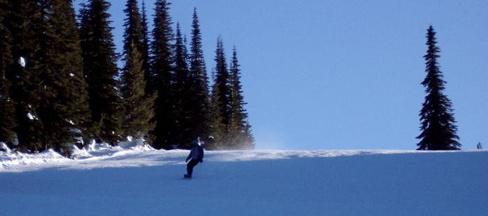
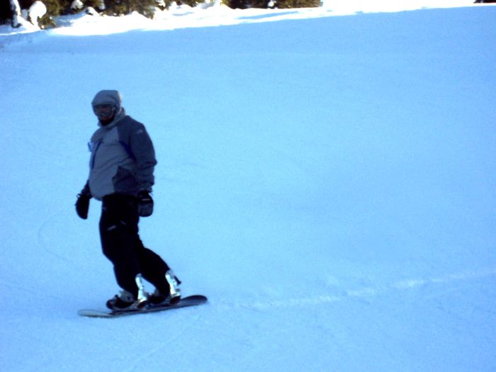
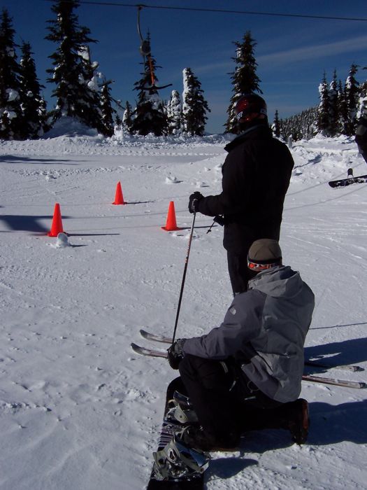
Still, we made the trip, so we were going to ski it.
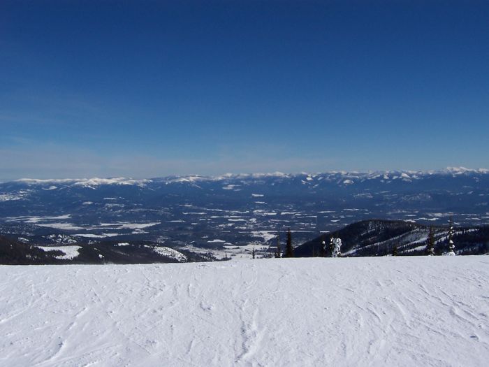

On the second day, I had my GPS in my pocket the entire day, so we could have an idea of what we had done. The map is color coded by speed at the time where the measurement was taken, green is slow, red is fast. Top speeds were around 30, normally we were going between 15 and 25.

