Follow us at facebook.com/NYCTrackbook
Printed Track Maps
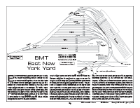
Here are four sample pages that should give a pretty fair indication of how the information is displayed. Click on any thumbnail view below to download a PDF image to your computer for offline viewing.
Midtown Manhattan is shown in this typical map page. There are 55 of these map pages in the book, 42 pages of introduction and explanations of how the system works, 23 yard drawings and approximately 20 pages of close ups of the system's most complex junctions. These map pages 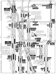 are not to scale, however they do show a very close co-relation between lines where one crosses over/under another. Pages for Manhattan and the Bronx are aligned vertically. Pages for Brooklyn and Queens are aligned horizontally.
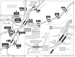
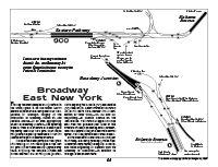 Broadway Junction details. This page is a typical example of a close-up map page. Its view is closer to scale than normal map pages, and it shows the more important home signals; the ones that protect diverging routes. Maps like this also show the commonly-used routings for each route.
Also of note, this particular page was originally printed in 1998 for the Second Edition. Many of the tracks shown here are long-since gone, when the Snediker Avenue curve was taken out in 2003, eliminating an un-necessary 10MPH slow zone.
