Newtown Square Branch Trail: Manoa Road
| < Previous | Up | Next > |
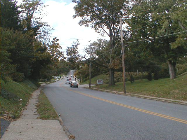
The rail bridge over Manoa Road has been demolished. Manoa Road is a fairly busy road, but not so busy that an at-grade crossing would be unreasonable.
The bridge used to cross over the road, roughly above where the nearest car is. What's left of the right abutment is visible as sloped earthwork to the right.
This is what the right-of-way looks like just south of Manoa Road. The multi-use trail would run behind the fence.

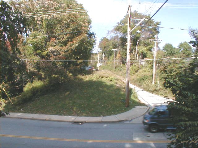
Standing on the north side of Manoa Road, looking south, across where the bridge use to run. If this were an at-grade crossing, the trackbed would have to be dug out a good bit to give a gentler slope for bikes down to Manoa Road. This would be a job for a backhoe and a dumptruck, not volunteers with shovels. Another possibility might be to have the trail come down the steep slope diagonally.

Standing on the south side of Manoa Road, looking north. The right-of-way is dead ahead across Manoa Road. The drive to the lower right runs along the trackbed to a fuel oil business.
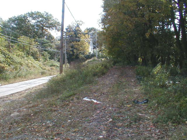
Looking up the drive to the fuel oil business. The trucks to the left are parked on the right-of-way.

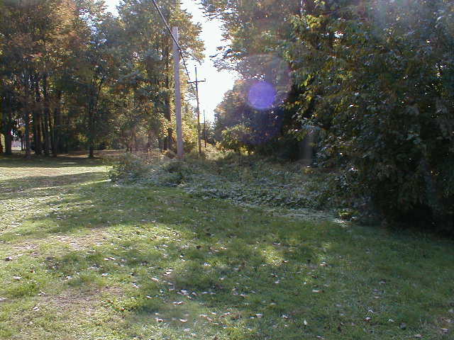
Standing near the trucks in the previous picture, looking south along the right-of-way toward Manoa Road.
Looking down at the same bit of the right-of-way. The view is from the edge of Veteran's Park; only a slope and the fuel oil driveway separate the park from the multi-use trail.
Veteran's Park
Veteran's Park is very near the right-of-way (altho not immediately next to it): yet another case where the multi-use trail would join many existing open spaces.
Here is one of the attractions in the park: ramps and jumps for bicycles and skateboards. It's a very popular item; I've seen this space jammed full of teenaged boys showing off their acrobatic stunts.
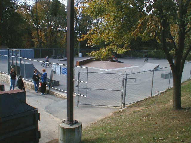
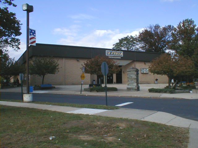
The Skatium is another attraction in Veteran's Park. There are also baseball fields, etc.
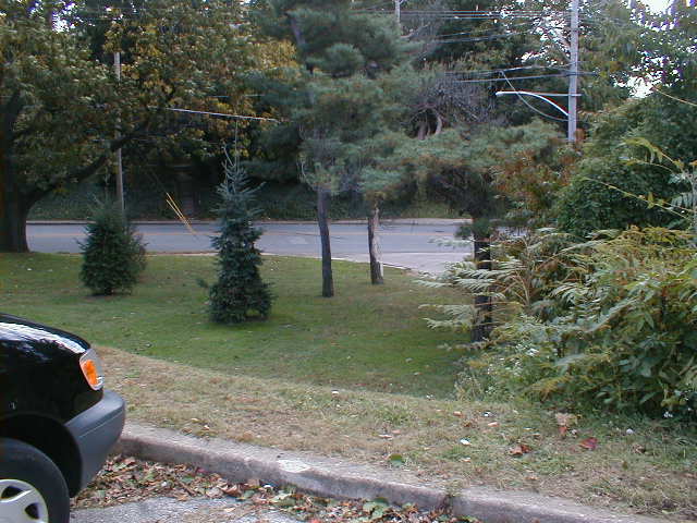
The corner of the parking lot at the southern corner of Veteran's Park. It ought to be possible to run a short paved trail down this slope, possibly with a switchback turn, to hook Veteran's Park up with the multi-use trail.
Bailey Park
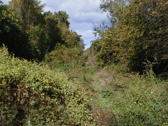
The fuel oil driveway on the east side of the right-of-way comes to a dead-end, and the right-of-way is too heavily overgrown to bike. Washington Avenue is just to the west and runs parallel to the right-of-way, which can be seen behind the houses. 2/3 of the way up, Washington Road is crossed by a sidewalk which takes pedestrians from Lincoln Avenue to Princeton Road thru Bailey Park.
Looking across the footbridge at the corner of Lincoln Avenue and Virginia Avenue. This is such a wonderful little bridge.

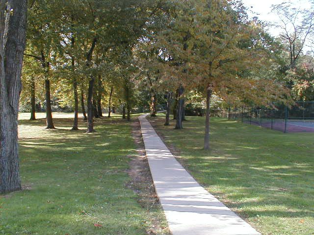
The sidewalk runs thru Bailey Park, yet another park which would be joined by the multiuse trail.
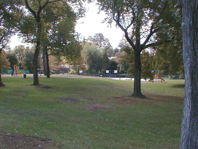
More of Bailey Park.
Looking west toward Bailey Park from Princeton Road.

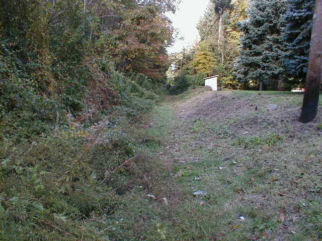
Looking south down the right-of-way from the Bailey Park sidewalk.
Looking north down the right-of-way from the Bailey Park sidewalk. The trackbed is more overgrown in this direction.
A little further north.
| < Previous | Up | Next > |