Newtown Square Branch Trail: Cardington Branch
| < Previous | Up | Next > |
The Cardington Branch takes off from the Newtown Square Branch.
Coming up on the fork. Notice the foot-trail across the right-of-way in the foreground.
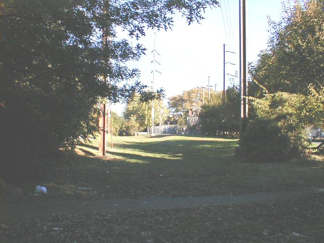
Looking down the beginning of the Cardington Branch.
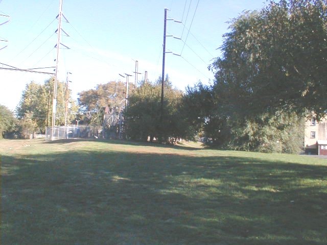
Just after the fork, there's a straight stretch to the east of Long Lane. This part would be very easy to convert to a multi-use trail; it's just an open, grassy area. Some nice neighbor must be keeping it mowed. There are usually kids playing in the area.
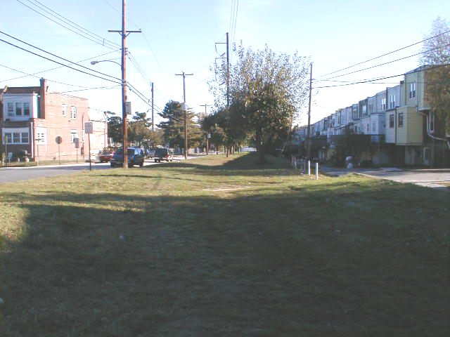
Looking east across Long Lane. The right-of-way runs behind rowhouses along Ruskin Lane and Guilford Road. The track ran thru the middle, right thru where the white shed now stands. Paved alleyways run along each side of the track, behind the rowhouses.
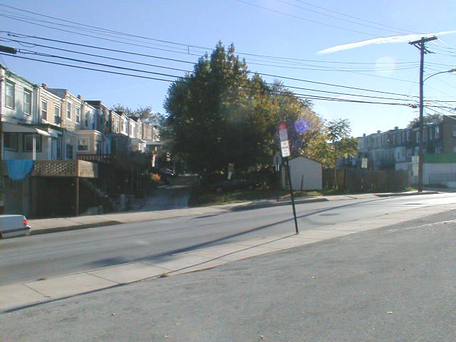
Here's where we start to run into real trouble. There are heavy encroachments on the right-of-way for about three blocks. Many of the people in the townhouses have built sheds, garages, dog pens, etc. It's very hard to tell that there was ever a track here. There's bound to be opposition to the trail from folks who are used to using the right-of-way as if it were their own.
The grade rises and then falls pretty steeply. I would not have guessed that a railway had run thru here if it were not plainly marked on old maps.
After Church Lane, the land slopes sharply downward toward Cobbs Creek, which is the western border of the City of Philadelphia. The right-of-way is crossed by a number of fences.
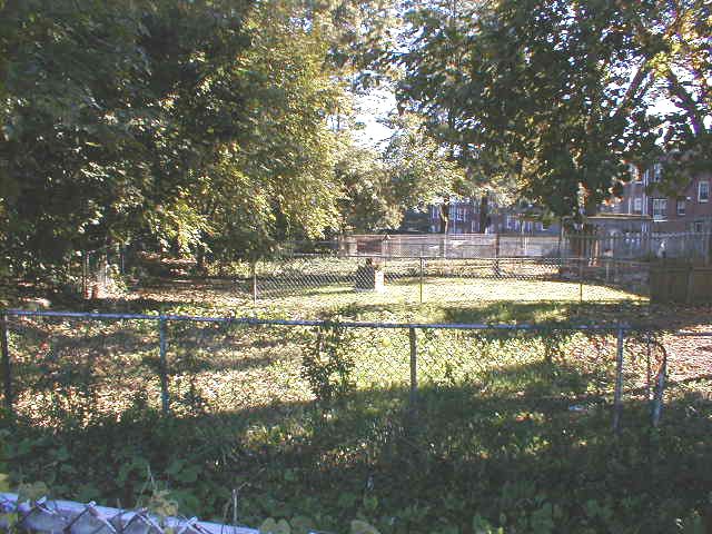
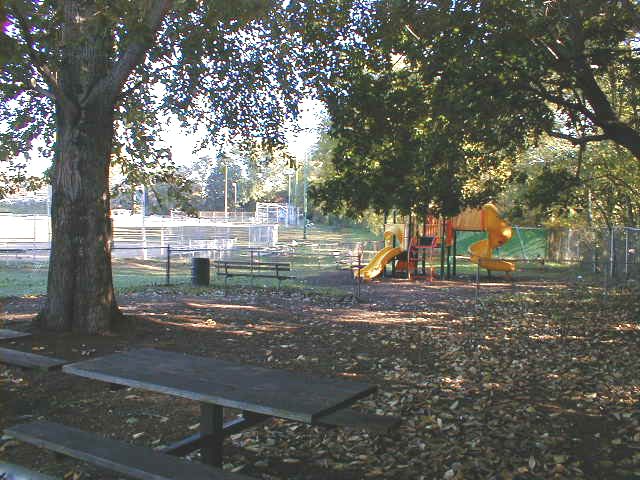
Immediately north of the right-of-way is a park. Perhaps there's some way to snake the multi-use trail thru the edge of the park; this would produce less opposition among neighbors who have staked out a portion of the right-of-way for their personal use.
| < Previous | Up | Next > |