Newtown Square Branch Trail: Beverly Hills Recreation Area
| < Previous | Up | Next > |
The right-of-way forks away from Marshall Road and continues to the northwest.
To the immediate left of the right-of-way is Beverly Hills Recreation Area, a large public park. This is yet another fortuitous case where the multiuse trail would join together existing greenspaces.
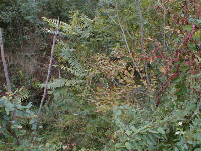
The trailbed continues thru the deep cut, and is very overgrown here. This view is from the top of the east side of the cut next to the apartment complex, just south of Beverly Blvd. At the left of the photo, you can barely see the opposite wall of the cut.
A little further northwest, the terrain drops, and the trackbed rises out of the cut and up onto a high earthwork. To the right, out of this view, is an apartment complex; the groundskeepers must be the ones who mow a little bit of the right-of-way here. Most of the right-of-way is overgrown.

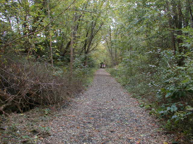
Another very lucky circumstance. This existing trail runs thru the woods on the northwest edge of Beverly Hills Recreation area. It starts at the right-of-way and runs southwest for about 800 feet or so; at one point there are stairs up to the ball fields. The trail ends at a T-intersection with another long greenspace trail which runs all the way from Marshall Road up to Garrett Road.
Biking thru these woods is a very pleasant ride. The new multi-use trail on the right-of-way would easily connect with this existing set of trails.
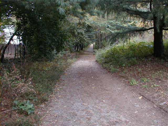
The existing trail between Marshall Road and Garrett Road, on the southwest edge of the park.
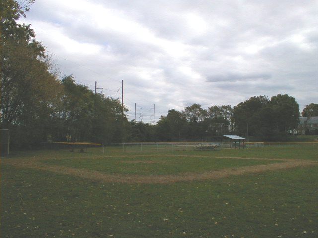
There's a stairway up from the existing trail to the ballfields. This is the view from the top of the stairs, looking southeast. The power lines along the Newtown Square Branch can be seen past the trees.
I'd build some kind of entrance trail directly into the park from the right-of-way. The trail from the woods is a great trail, but it's the long way around for bicyclists who want to go to the park.
Back to the right-of-way. This view is at the very northeast corner of the park, at the south tip of Barclay Square.
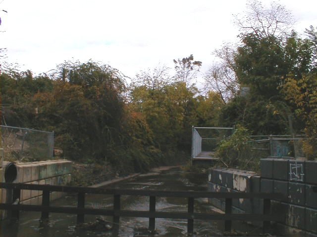
A bridge used to run above this creek; the bridge has been removed, but the high concrete abutments are intact on both sides and appear to be in good shape.
I don't see any way to avoid replacing the missing bridge in this case. However, as far as bridges go, this one should be at the lower end in terms of cost. I can picture a crane lifting a timber-bridge bed onto the existing abutments.
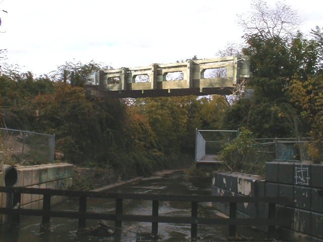
Here's the previous picture with a timber bridge edited in, to show where it's supposed to go.
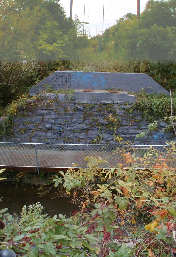
Standing on the northwest side of the creek, looking down into the creekbed from on top of the bridge piling. I had to edit three pictures together to fit in the whole view.
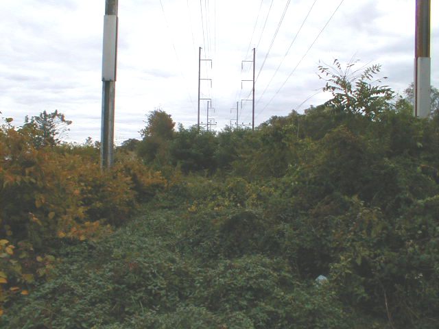
Here's roughly what you'd see if you were walking or biking across the bridge, and you looked up the creek valley to the southwest.

The trackbed continues northwest on an elevated, overgrown earthwork between Barclay Square shopping center and an apartment complex.
As the right-of-way gets closer to Garrett Road, the earthwork slopes back down to the surrounding level. This area is kept nicely mowed. A trail branching off to the right could join up with the Barclay Square shopping center, for folks taking the trail to go shopping.

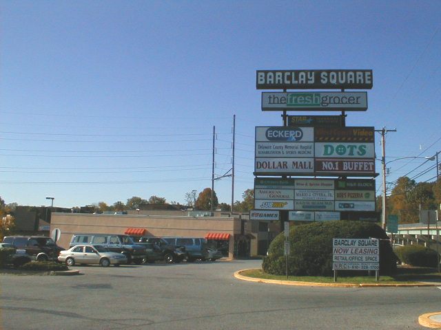
Some of the businesses in Barclay Square which would benefit from the trail. The powerlines above the right-of-way can be seen behind the shopping center buildings. Just to the left of the sign is a Dunkin' Donuts; perhaps the owners could be interested in installing a bike rack, so that trail users can stop and take in some of the calories that they've been burning off.
| < Previous | Up | Next > |