Newtown Square Branch Trail: Naylors Run Park
| < Previous | Up | Next > |
Crossing Garrett Road, the right-of-way runs thru Naylors Run Park.
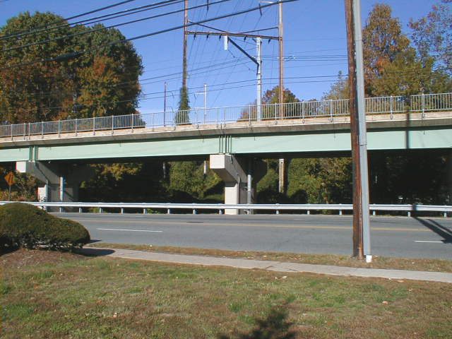
The SEPTA trolley bridge is recent. Old photos of Garrett Road show the old bridge, which was higher to allow the Newtown Square Branch track to pass underneath. The bridge support in the center of this picture is right smack in the middle of what used to be the track.
This is another case where the right-of-way crosses a busy road. I don't see any realistic way to put a bridge in here, since the trolley bridge is already taking up the air space where the trail bridge would need to go. This crossing probably has to be at-grade. Well, there are worse places for an at-grade crossing, I guess; at there there is good visibility on a long straight stretch in both directions here.
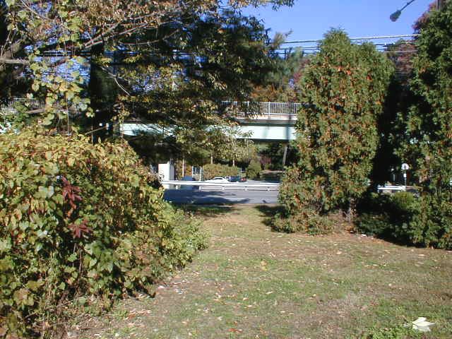
The multi-use trail probably ought to swing a little to the right here rather than stick closely to the right-of-way, so that it can go into Naylor's Run Park thru the main entrance.

Maybe the multi-use trail could go thru here. It's off the right-of-way, right next to the congressman's office.
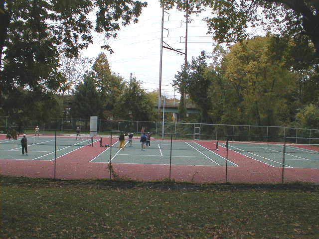
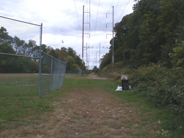
Here we're headed northwest along the park road, not the right-of-way. These tennis courts are to the left. You can see the powerlines on the right-of-way past the courts.
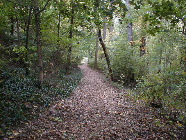
One of the existing trails in the park. It connects the park with Beverly Blvd. It would be a natural branch off of the Newtown Square Branch trail.
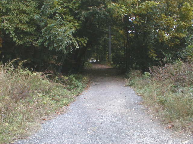
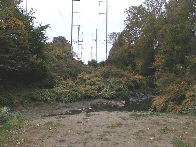
Deeper into the park.
One of the places where a bridge used to cross Naylors Run. The picture doesn't show it well, but there's a sharp drop right in front of me maybe 10-15 feet down to the rocky creek bed.
As I was biking thru here, I talked with a guy walking his samoyed; he had grown up in the area. He remember when the trains used to run thru; when he was in high school back in the 1960's, he and his friends used to jump on the slow-moving trains and take a free ride.
The guy told me that three rail bridges had been demolished inside the park within the last couple years; he said they had become dilapidated and hazardous. I was inwardly wincing, thinking of the cost of building replacement bridges. Then I thought about it some more, and realized that this is, after all, a park; the multi-use trail does not have to follow the right-of-way. It could curve along the bank of Naylor's Run and not cross any bridges at all. This would give a nice break from the mostly straight stretches along most of the whole 14-mile railbed.
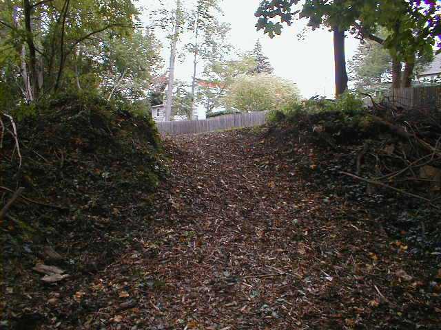
An existing trail runs up out of the park to the intersection of Beverly Road and Highland Avenue. It is covered with wood chips, which is not great for biking, but it's excellent for walking.
The top of the side trail. This one spot is a little too steep for tame biking. Making the slope gentler wouldn't be a big job; it's less a job for a backhoe, and more a job for a few volunteer guys with shovels on a Saturday afternoon.
| < Previous | Up | Next > |