Newtown Square Branch Trail: North of State Road
| < Previous | Up | Next > |
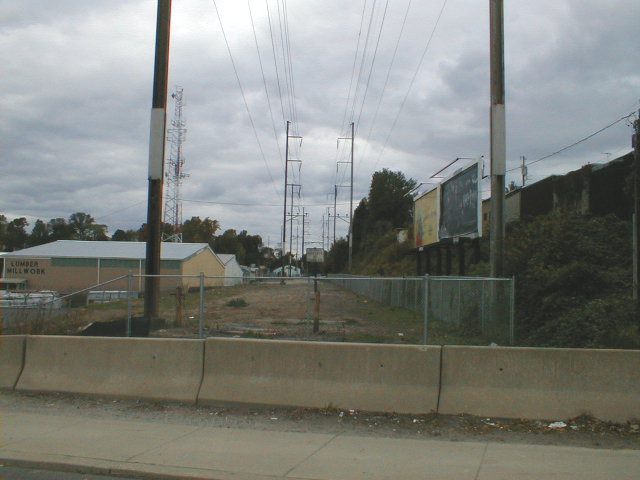
Looking northwest across State Road. The lumberyard to the left has built a chainlink fence around the right-of-way and has put up a NO THOROFARE sign. The space is otherwise empty.
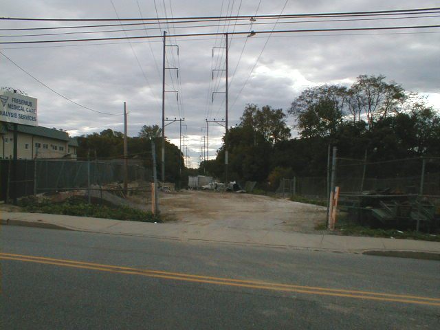
Looking southwest across State Road, back toward Naylors Run Park. Some kind of business, whose main area is outside the picture down and to the right, is using a piece of the right-of-way as a driveway and parking area. There's actually enough space here that the multiuse trail can probably come thru while still leaving some space.
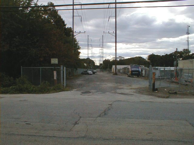
A little further north. We're on Cedar Road, looking southeast. To the right of this picture is a Comcast building. Comcast has fenced in a little piece of the right-of-way as a parking lot and has put up a "No Trespassing" sign.
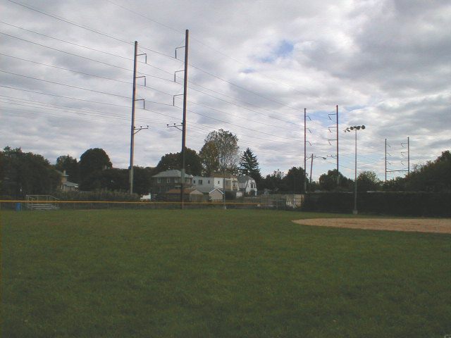
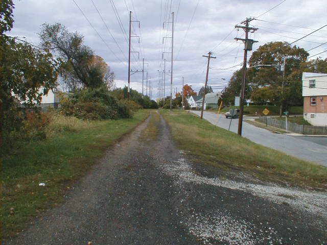
North of Cedar Road, there are parts of the right-of-way which are in very good shape. Here is a park right next to the right-of-way, yet another open space which would be automatically connected when the multi-use trail comes thru. The power lines above the right-of-way are in the background.
Looking southeast out of the park. The railbed goes thru a cut here. The ground there looks a little swampy. This is one of the only places along the trail where some drainage might be needed (a ditch or pipe). I could be wrong; maybe it's just overgrown.

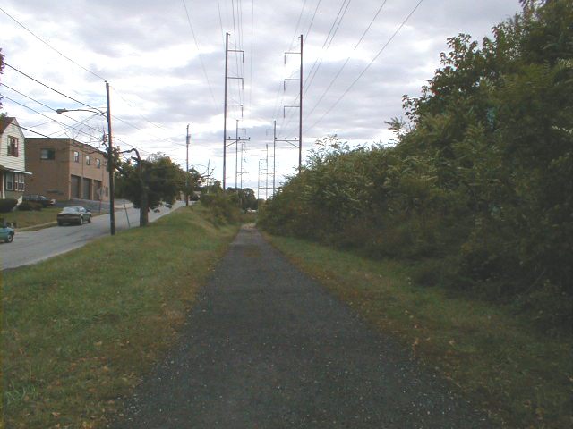
The trail just north of the park. It looks all ready for the asphalt pavers to come thru.
Looking south from the same spot, back toward the park. This isn't just a place would there could be a trail: there is a trail here. The only problem is that there are bits of broken glass mixed in with the gravel, but the whole trail would be better paved with asphalt anyway.
Delaware Avenue rises up to the left.
| < Previous | Up | Next > |