Newtown Square Branch Trail: Eagle Road
| < Previous | Up | Next > |
The trackbed turns almost straight west as it crosses Eagle Road.
Looking down Ralston Avenue toward its southwest dead end. The right-of-way runs left/right past the yard at the end of the road.
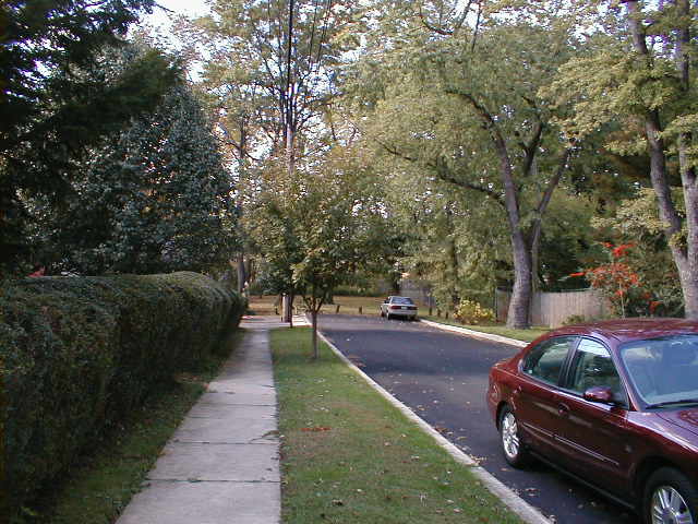
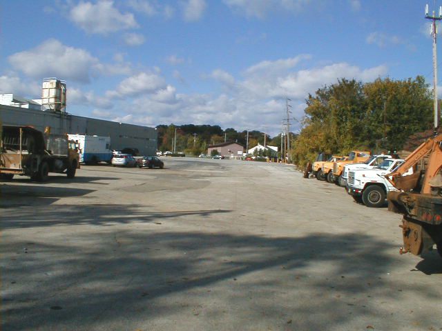
The track used to run right across what is now this fenced-in parking lot beside a plant. Picture the rails going away in the distance right in front of you.
Looking west across Eagle Road. The track used to cross here. It ran right between where the two short trees stand on the other side of the road.

Is this mark on Eagle Road left over from when the tracks were removed?

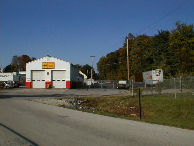
Just past Eagle Road are some garage buildings where cars are serviced. The track ran right thru the fenced in area here, to the right of the garage building.
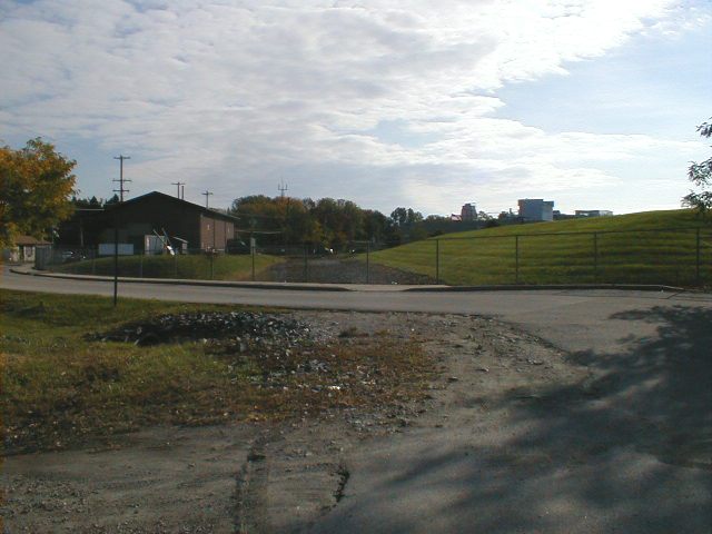
This point on the line was appararently known as the Grassland stop.
According to one source, freight service between Grassland and Newtown Square was discontinued in 1963. Service on the rest of the Newtown Square Branch was discontinued in 1981. Not surprisingly, the track bed west of Eagle Road is heavily overgrown in some places, since it has been out of use for over 40 years.
The 7 1/2-minute US Geological Survey map shows the track as ending here; the trackbed to the west is shown with a dotted line and labeled "OLD RAILROAD GRADE". That survey map dates from the early 1970's; the map is therefore consistent with the dates for the partial shutdown of the line given.

The same view, standing further back. The present-driveway obscures where the track originally ran.
Looking back east from the same spot. The original trackbed is more apparent here.
Paddock Park borders on the right-of-way immediately to the north. Yet another open space which would be connected by the right-of-way.
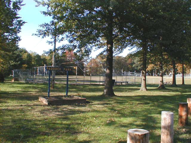
This existing trail at the west end of Paddock Park connects the park with the circle at the end of Merrybrook Drive.
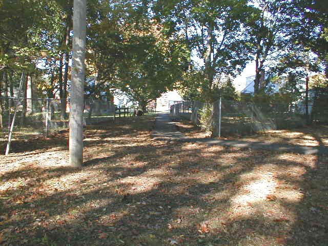
Looking south from the same spot. At this point, the rail bed is in a cut around 10 or 15 feet deep. The fence separates Paddock Park from the rail cut. A little digging could create a great connection between the multi-use trail and the existing trail between the park and Merrybrook Drive.
Looking thru the same fence down into the railbed. There's a car parked down there.
Looking up toward Paddock Park from down in the railbed cut.
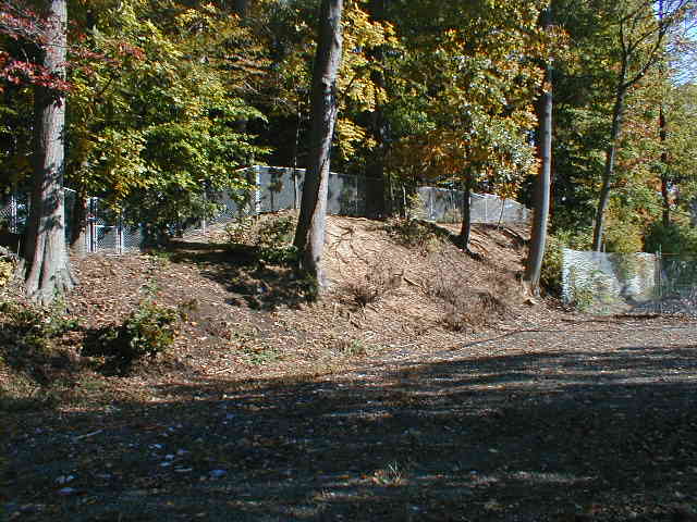
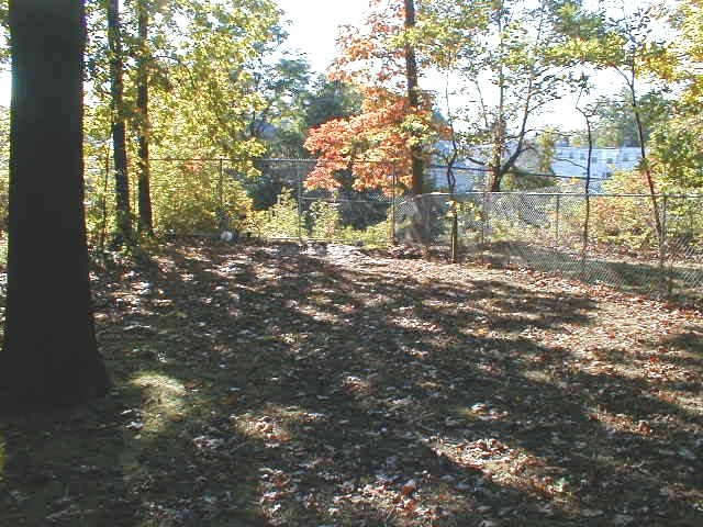
Looking back east toward Eagle Road. Part of the right-of-way has been fenced in here.

Facing west from the same spot in the previous picture. The rail bed is in pretty good shape for this stretch, considering that it hasn't been used as a railroad in this section since 1963.

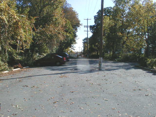
The Jehovah's Witnesses have paved a small section of the right-of-way and are using it as a parking lot. The railbed is wide enough that it might be possible to take just a slice of the parking lot for the multiuse trail, leaving enough room for parking.
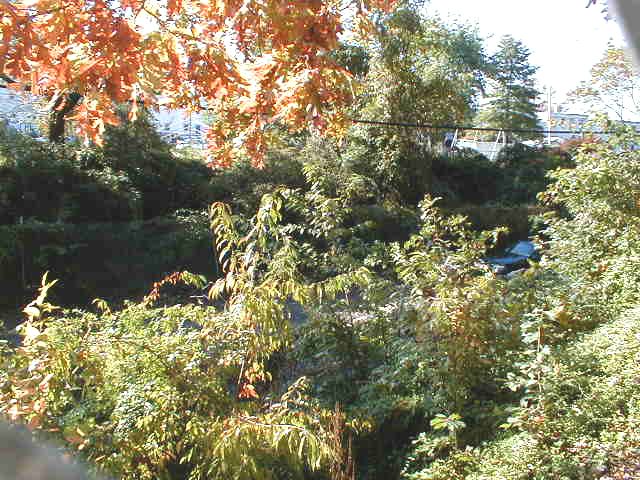
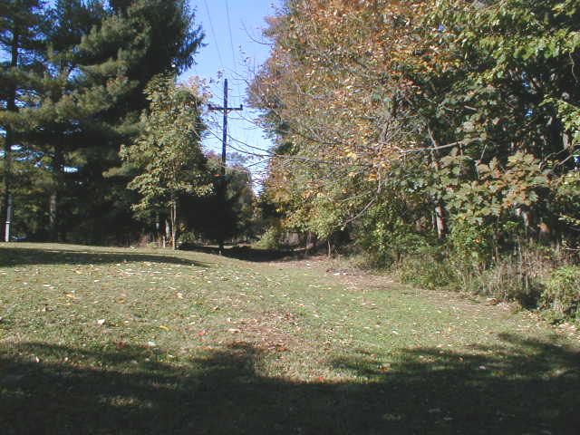
West of the Jehovah's Witness parking lot, the right-of-way is grassy.
| < Previous | Up | Next > |