Newtown Square Branch Trail: Ellis Road
| < Previous | Up | Next > |
The trackbed turns almost straight west as it crosses Eagle Road.
As the railbed continues west toward Ellis Road, it is surrounded by residential streets: Golf Hills Road to the north, and various streets just to the south. Fortunately for the adjacent homeowners, the railbed goes thru a fairly deep cut for much of this section, making a natural separation between the residential yards and the trail; you'd have to scramble up a high, steep bank to reach any of the houses.
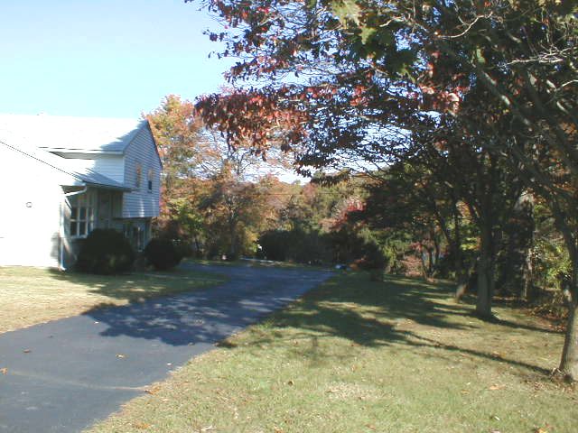
In this picture, we're looking northward from the street across someone's yard; the power lines on the right-of-way can be seen as faint black horizonal lines in the background. The lines are at about first-story level because the poles are down in the deep cut.
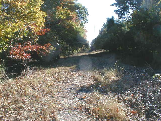
Standing on the railbed barely east of Ellis Road, facing east. Just picture a paved trail. What a gorgeous, delicious bike ride this would be.
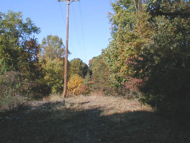
Same spot, facing west toward Ellis Road. You would not want to be riding your bike in this direction, because there's a bridge missing just a few paces ahead. If you rode your bike forward, you'd fly Wheeeeeeee! thru the air and land in a crumpled heap on Ellis Road perhaps 30 feet below.
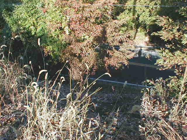
A few more paces forward, looking down the steep bank at Ellis Road. You can get some idea of how far a drop this is by looking at my tiny shadow down on the road on the right side of the picture.
Down on Ellis Road, looking up the steep bank; you can't realy see how high the top is because it is somewhat grown over. It's quite a tricky scramble to climb up it. The bridge used to pass almost overhead. To the left, outside the frame of the picture, the terrain on the other side of Ellis Road plunges sharply downhill. It must have been a long, high bridge across this valley.

| < Previous | Up | Next > |