Newtown Square Branch Trail: East of the Blue Route
| < Previous | Up | Next > |
I'm arranging the pictures in their proper order as the train travels from east to west, but the walking order was nothing of the kind. West of Ellis Road, you'd have a very hard time walking straight along the old trackbed from east to west.
The location of the first picture below is easily reached by driving along Marple Road.
The second picture in the sequence was taken is perhaps a couple hundred feet from the first. However, I had to reach the spot by walking all the way from Sproul Road and then passing under the Blue Route. This is a distance of around 4000 feet (3/4 mile) as the crow flies. However, the train bridge over Darby Creek is gone, which means that there is no direct way to make this hike. I had to make a very roundabout path, walking into the woods at Sproul Road and staying southwest of Darby Creek, until I finally found a fallen tree across Darby Creek which allowed me to make a crossing just barely west of the Blue Route.
So, the pictures below are in an idealized east-to-west sequence which leave out a great deal of actual backtracking.
Standing on Marple Road near the south entrance to the Haverford State Hospital, facing northwest. It's hard to tell from this picture, but the green area at dead center is actually the abutment of a bridge which was demolished long ago. The power line gives away where the train track used to be.
(Picture taken late October 2005)

Perhaps a couple hundred feet northwest of Marple Road, standing in the middle of the railbed, facing southeast. The house is probably partly right on top of where the track used to be. The wooden fence runs right across the railbed.
(Picture taken late January 2006)
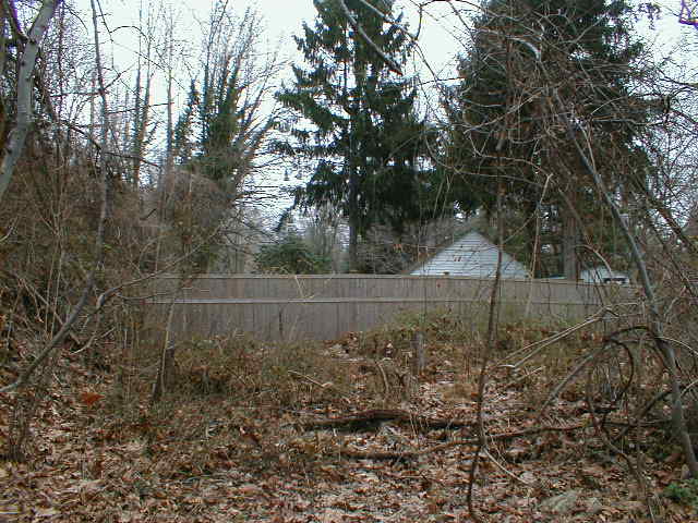
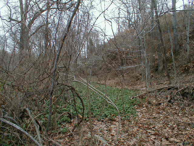
Standing at the same spot, facing northwest.
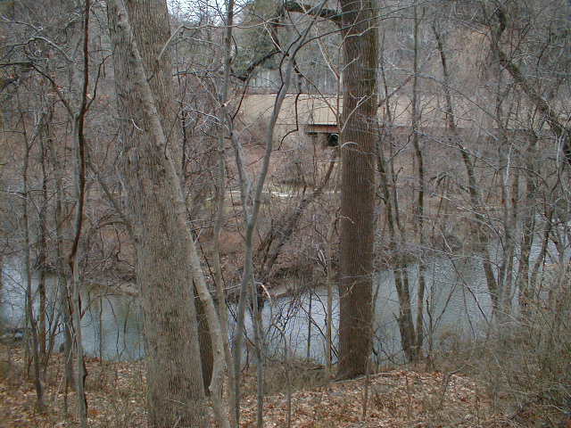
Looking down at Darby Creek from the railbed. The bridge in the distance is the Blue Route crossing Darby Creek.
Heading down the slope into the Darby Creek valley.

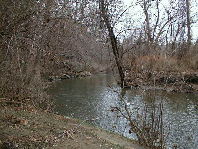
Looking south at Darby Creek. I'm no longer on the rail bed at this point.
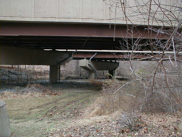
The Blue Route bridge over Darby Creek. There is plenty of room for the multiuse trail to pass under this bridge.
I'm standing just north of the Darby Creek bridge, up on the ridge between the Blue Route and Haverford State Hospital. On the far side of the Blue Route, you can see the tiny power lines heading off to the west, showing where the track used to run.

| < Previous | Up | Next > |