Newtown Square Branch Trail: West of the Blue Route
| < Previous | Up | Next > |
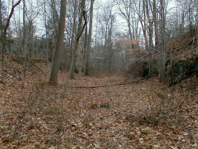
West of the Blue Route, facing west on the railbed. A very nice cut here. If a paved trail went thru here, it would be one of the most beautiful sections of the Newtown Square Branch trail.
Looking south, down the slope from the railbed, toward Darby Creek. Since the Blue Route cuts across the railbed, I'd run the trail up this slope from the Blue Route Darby Creek bridge (out of the frame to the left).

A little further to the west, the terrain drops, and the railbed is on a high earthwork. There is a gap in the earthwork, and the track went across this tressle. The tressle is completely dilapidated and very unsafe.
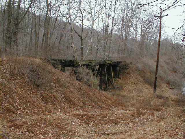
A view of the dilapidated tressle from up on the earthwork, facing west. Notice how swampy the land is lower down to the right. It's a natural barrier to anyone who wanted to trespass off of the trail here.

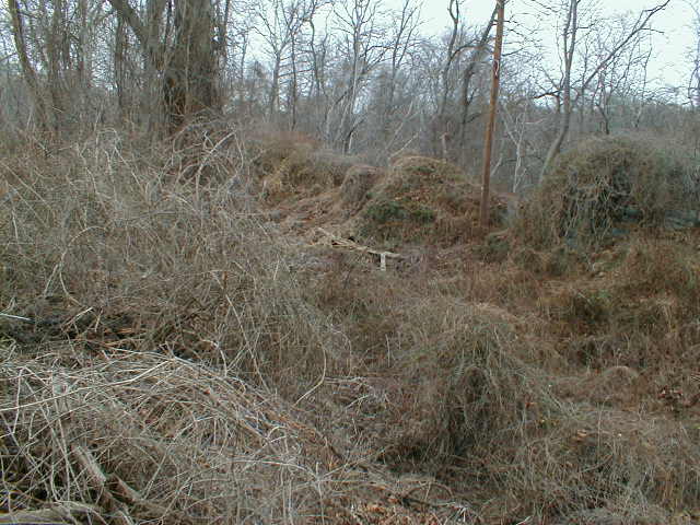
Looking down from the earthwork onto the swampy land to the north.

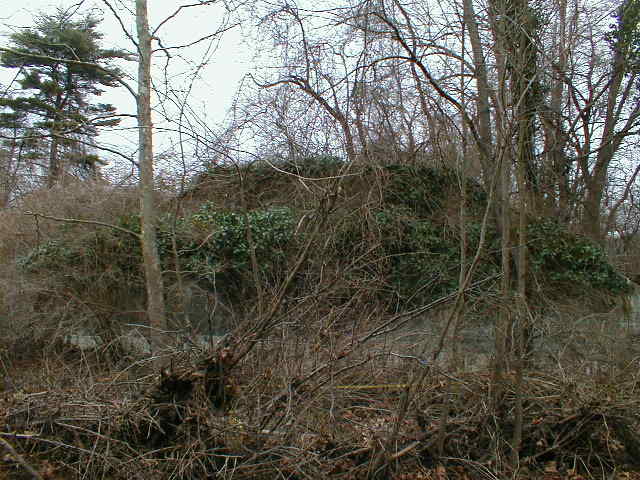
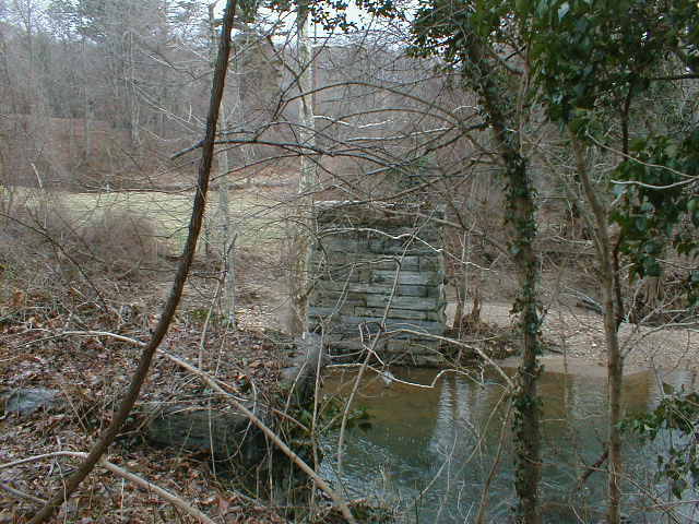
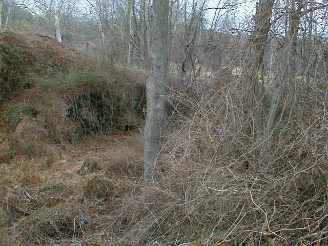
We reach the end of the earthwork as we approach Darby Creek. Straight ahead, there used to be a long high bridge across Darby Creek. This view is from the top of the abutment at the end of the earthwork. One of the stone supports from the demolished bridge can be seen at center; it is very heavily overgrown with vines.
At the bottom of the same abutment, facing back east. The abutment is heavily overgrown.
One of the stone columns, still in very good shape.
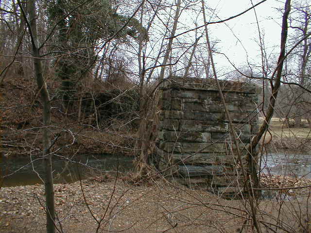
Two of the columns.
Standing still further back. You can see three columns.

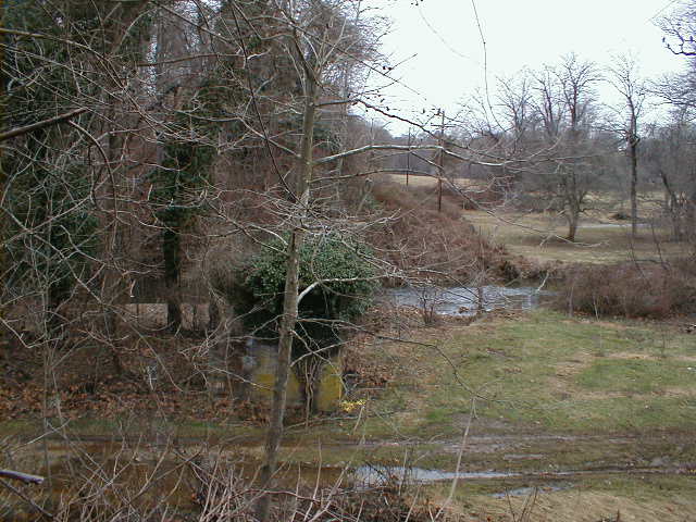
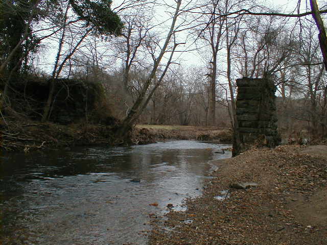
West of Darby Creek, facing back east across the water.
Heading up the hill toward Sproul Road. The railbed is to the right; the partially overgrown retaining wall to the left runs parallel to the former track.

The trackbed is heavily grown over. Another retaining wall is to the left.

Looking down into the cut from just behind the housing development on the east side of Sproul Road.
Same spot as the previous picture, facing more to the left.
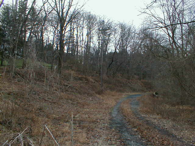
East of Sproul Road, facing back west. There used to be a bridge across Sproul Road here. The power lines running from the upper left corner, perpindicular to Sproul Road, follow the old track.
The Foxcroft station used to be located just east of Sproul Road, at the left center of this picture.

Facing west, away from Sproul Road. The track ran along the ridge to the left, parallel to the road.
I didn't go any further west along this road because of the No Trespassing sign. This is one of the very few portions of the Newtown Square Branch which I have not personally explored.
| < Previous | Up | Next > |