Newtown Square Branch Trail: Newtown Square
| < Previous | Up | Next > |
South Hunt Road, facing west into the old trackbed.
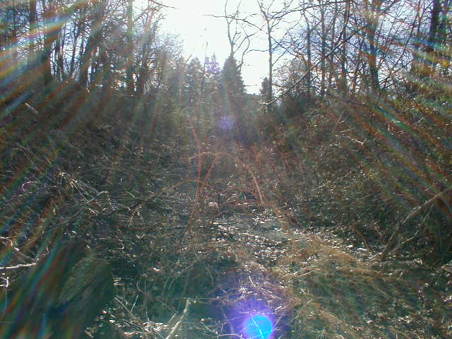
There used to be a bridge across Bryn Mawr Road. The viewpoint here is roughly to the north; Bryn Mawr Road is just to the right, out of view of the frame. Notice the abutment to the left.
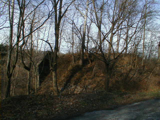
A better view of the abutment. Notice the stone column off in the distance.

Standing on top of the earthwork on the northwestern side of Bryn Mawr Road. In the old days, the bridge would be right in front of us here.

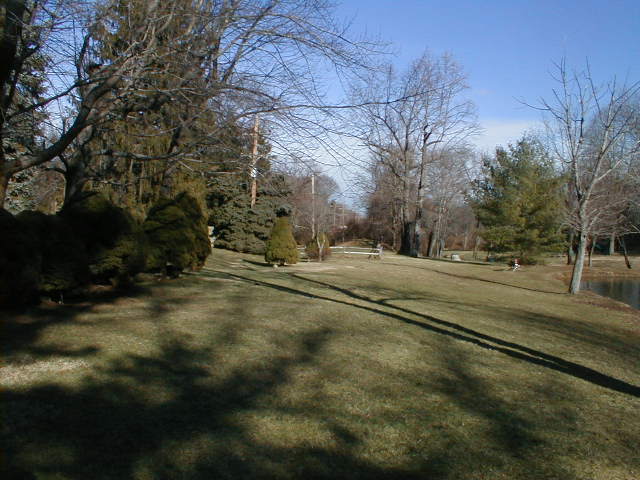
The former trackbed passes thru a decent-sized park beside Winding Way, just east of Newtown Street Rd. If the trail extends this far west, it would make a great deal of sense of it to terminate in this park, since there is existing parking, and since there is nothing of special interest which would make it worth extending the trail to the busy main road.
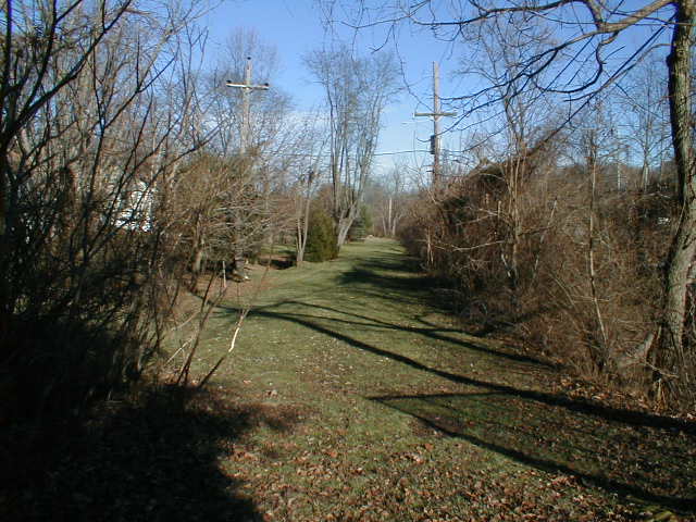
As we approach Newtown Street Rd., this is what the trackbed looks like.
Standing on the sidewalk beside Newtown Street Road, looking at the very end of what used to be the track.

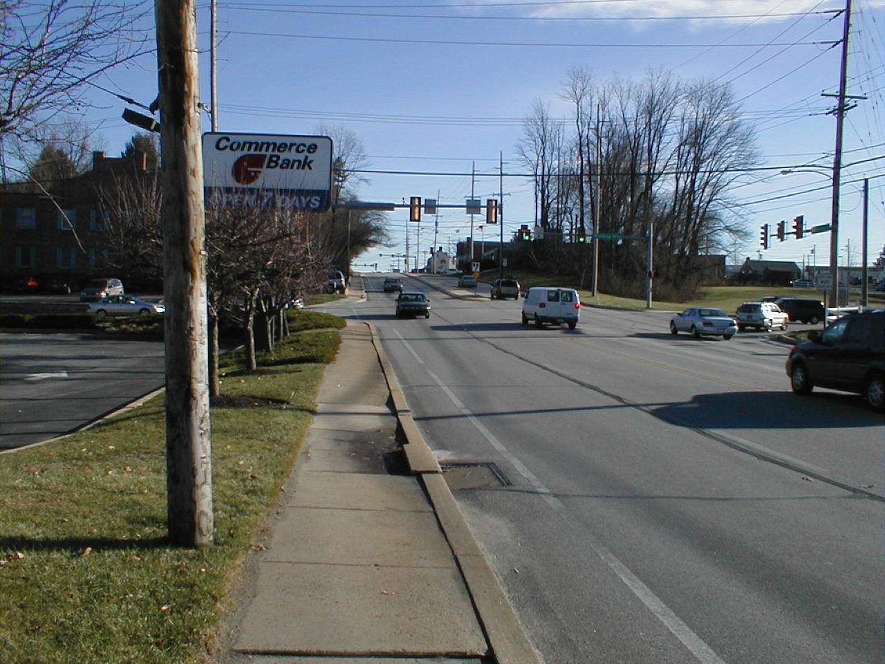
This Commerce Bank is right next to the end of the former track. There's nothing to show that there used to be a station and several sidings here.
| < Previous | Up | Next > |